

High-Resolution Data for Advanced Networks
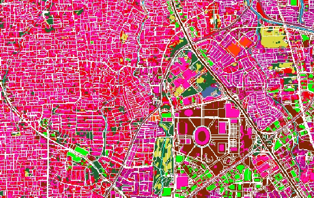
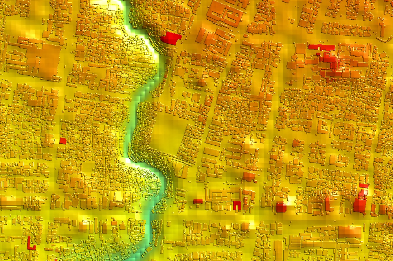
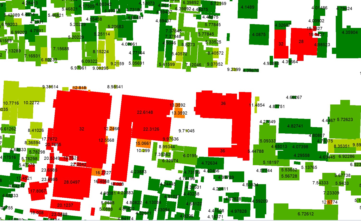
High-resolution clutter, terrain, and building height maps are indispensable for the planning of advanced networks like 4G LTE and 5G. These technologies require precise signal propagation models due to their reliance on higher frequencies, which are more susceptible to environmental obstructions. High-resolution data allows for accurate modeling of small cells, beamforming, and densification strategies, ensuring optimal connectivity and quality of service in urban areas. By leveraging these maps, network planners can maximize the performance and efficiency of modern wireless networks while meeting the increasing demand for high-speed connectivity.
Using advanced planning tools like Atoll or Planet, combined with high-resolution data such as 1-meter clutter class maps and building height maps, network planners can achieve highly accurate predictions of signal behavior. These tools simulate signal propagation in a 3D environment, incorporating terrain elevation, surface clutter, and building heights. The result is a precise prediction of coverage, signal strength, and interference patterns, closely reflecting real-world performance.
