
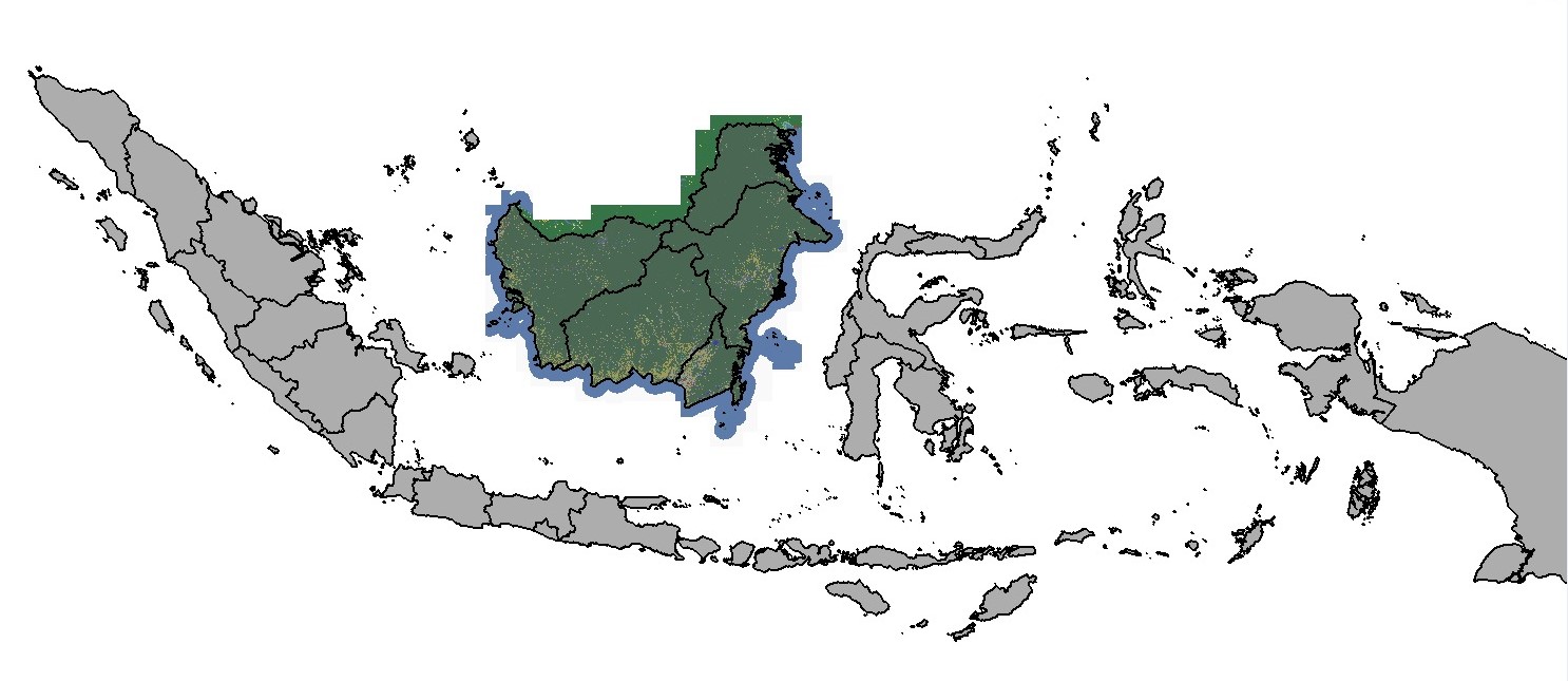
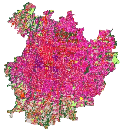

Clutter Class Map
A clutter class map is a type of geographical representation used to classify and depict various types of land use and environmental features within a specific area. It categorizes the landscape into different “clutter” types, which typically include natural elements like forests, water bodies, and grasslands, as well as human-made structures such as urban areas, roads, and agricultural fields. These maps are essential in understanding how land is utilized and how different environmental features are distributed across a region.
The purpose of a clutter class map is to provide a detailed overview of the terrain’s characteristics, helping in various applications such as urban planning, environmental monitoring, and telecommunications. For instance, in the context of telecommunications, clutter maps are crucial for signal propagation modeling, as different land cover types can significantly affect the strength and reach of radio signals. By understanding the distribution of different clutter types, engineers can better design and optimize communication networks.
